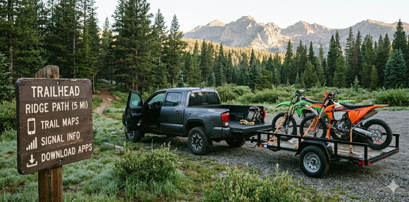
It's Friday afternoon. You're loading up the truck, checking the weather one more time, and making sure you've got everything you need for the weekend. Your phone is doing more work than you think. Between navigation, trail maps, ride recording, and knowing your machine is actually ready to go, there are a handful of apps that cover the whole loop. These are the ones I keep on my phone.
Full disclosure: I built LookOver, so I'm biased on that one. I'll call it out when we get there. Everything else on this list is here because I actually use it.
Know Where You're Going
MDT 511
Before I even hook up the trailer, I'm checking road conditions. The MDT 511 app gives you real-time road conditions, camera views, and construction alerts for every highway in Montana. If you're pulling a trailer over a pass in March, this is the app that tells you whether that's a good idea or not. Free. (iOS / Android)
Note: Most states have their own 511 app. Montana's happens to be solid. Look up yours.
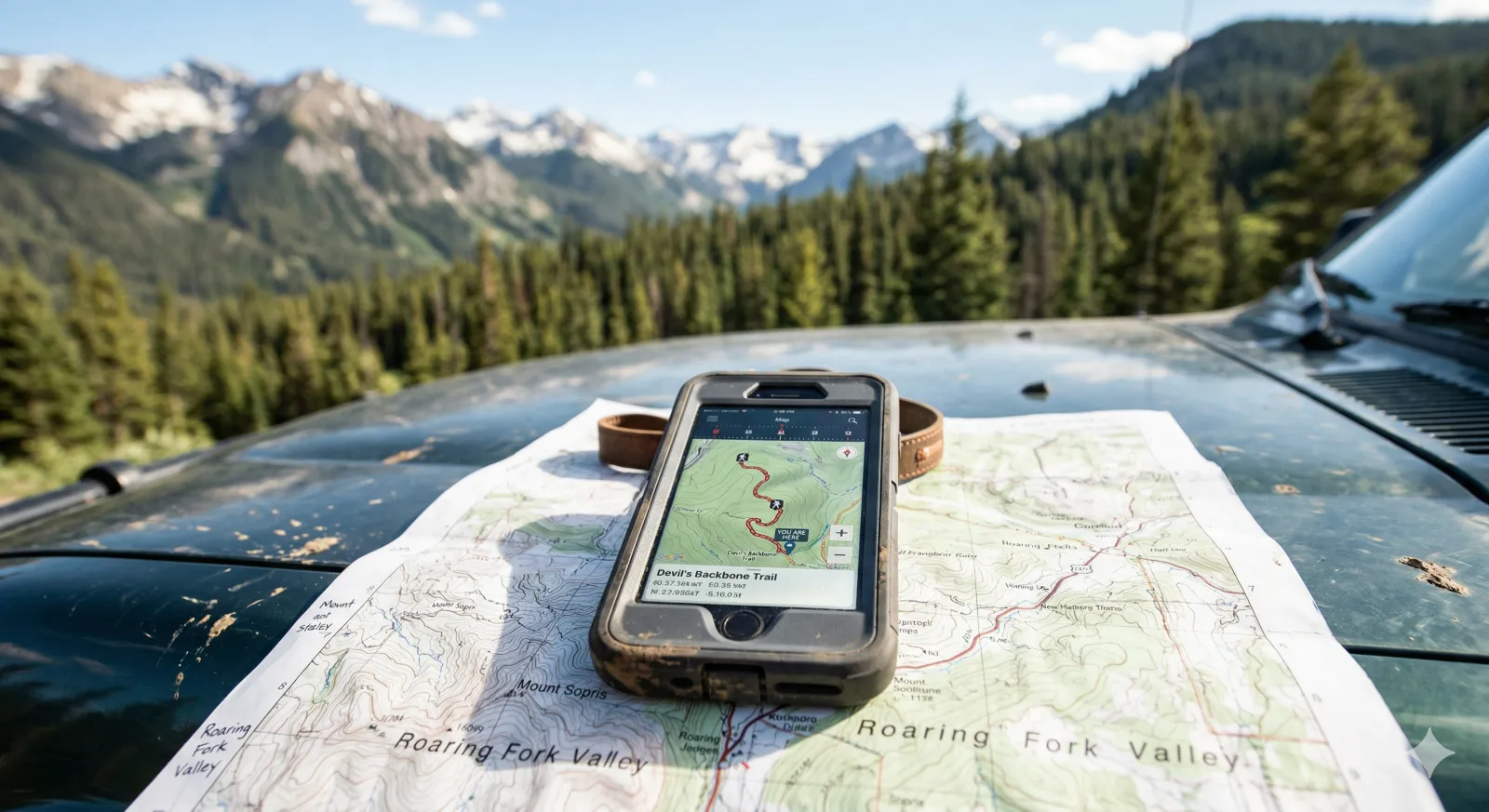
US Topo Maps
This is my go-to for topo navigation. US Topo gives you 30+ map layers including USGS topos, aerial imagery, and forest maps. You can cache maps for offline use, which matters when you're 20 miles from the nearest cell tower. GPX import and export works well, and the old traditional USGS maps in this app show trails and paths that newer maps have dropped. Free with a Pro upgrade available. (Android)
Avenza Maps + MVUM
This is more of a combo than a single app. The Forest Service publishes Motor Vehicle Use Maps (MVUMs) for every national forest. Those maps show you exactly which trails are legal for motorized use. Most MVUMs are available for free right in the Avenza Map Store, already georeferenced and ready to go. Download one, and you've got GPS positioning on an official trail map that works completely offline. The USFS MVUM website is where I go to verify trails or find ones that aren't in the Avenza store yet. Between the two, you've got legal trail coverage handled. Avenza is free for up to three maps, with Plus and Pro tiers available. (iOS / Android)
Check the Weather
Weather Underground
Standard weather apps pull from airport stations that might be 50 miles from where you're riding. Weather Underground pulls from over 250,000 personal weather stations, so you get conditions closer to where you actually are. The hourly graph view is great for planning. If it's going to rain at 2pm, you want to know that before you're on a ridge at 1:45. Free with a Premium option to remove ads. (iOS / Android)
MyRadar
I use MyRadar primarily for the wildfire layer. During fire season, knowing where active fires are burning before you head into the backcountry is not optional. The app also gives you quick animated radar and cloud cover, which matters when you're riding in the Rockies where weather can change completely in an hour. You don't get long forecasting windows out here. Open the app, check for fires, check for incoming weather, and make your call. Free with premium upgrades available. (iOS / Android)
Find Someone to Ride With
NEVRA
NEVRA stands for "Never Ride Alone," and that's exactly what it does. It connects off-road riders based on location, schedule, and skill level. If you work a non-standard schedule, just moved to a new area, or want to find locals who know the trails on a moto vacation, this is the app for that. Riding in groups is safer than going solo in remote areas, and NEVRA makes it easier to make that happen. NEVRA is a LookOver partner, but it earned its spot here. Free. (iOS / Android)
The Drive Out and the Ride Itself
Spotify
Not much to explain here. It's the drive out to the trailhead. You need music or a podcast. Spotify handles it. The offline download feature matters if you're driving through dead zones, which you probably are. Free with ads, Premium is $11.99/month. (iOS / Android)
Relive
Relive takes your GPS track and turns it into a 3D flyover video of your ride. Hit record before you head out, and when you're done you get a shareable video that shows the route, elevation, and photos along the way. It's the best way to show someone where you rode without trying to explain it. Great for documenting trips you want to remember or sharing routes with friends. Free with a Club subscription for extra features. (iOS / Android)
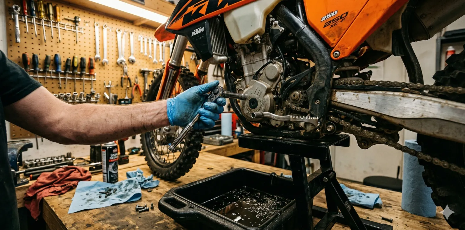
Keeping Your Machines Running
LookOver
This is mine, so I'm biased. I built LookOver because every maintenance app I tried was designed for cars. Your dirt bike tracks hours. Your UTV tracks miles. Your snowmobile sits all summer. Most maintenance apps don't understand any of that. LookOver does. It handles hour-based tracking, compound service intervals, and works offline. One app for the dirt bike, the quad, the sled, and the truck you haul them with. Free for one machine, Pro unlocks the whole garage. (iOS / Android)
GasBuddy
When you're towing across the state to your next riding spot, fuel stops add up fast. GasBuddy shows you the cheapest gas along your route so you're not overpaying at whatever station happens to be at the next exit. I also use it to find ethanol-free gas. If you're filling jerry cans for a dirt bike or a snowmobile, ethanol-free fuel matters, and GasBuddy lets you filter by fuel type to find stations that carry it. Free. (iOS / Android)
The One You Wouldn't Expect
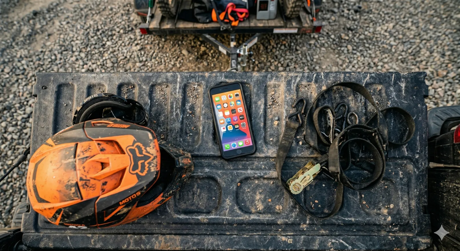
Knots 3D
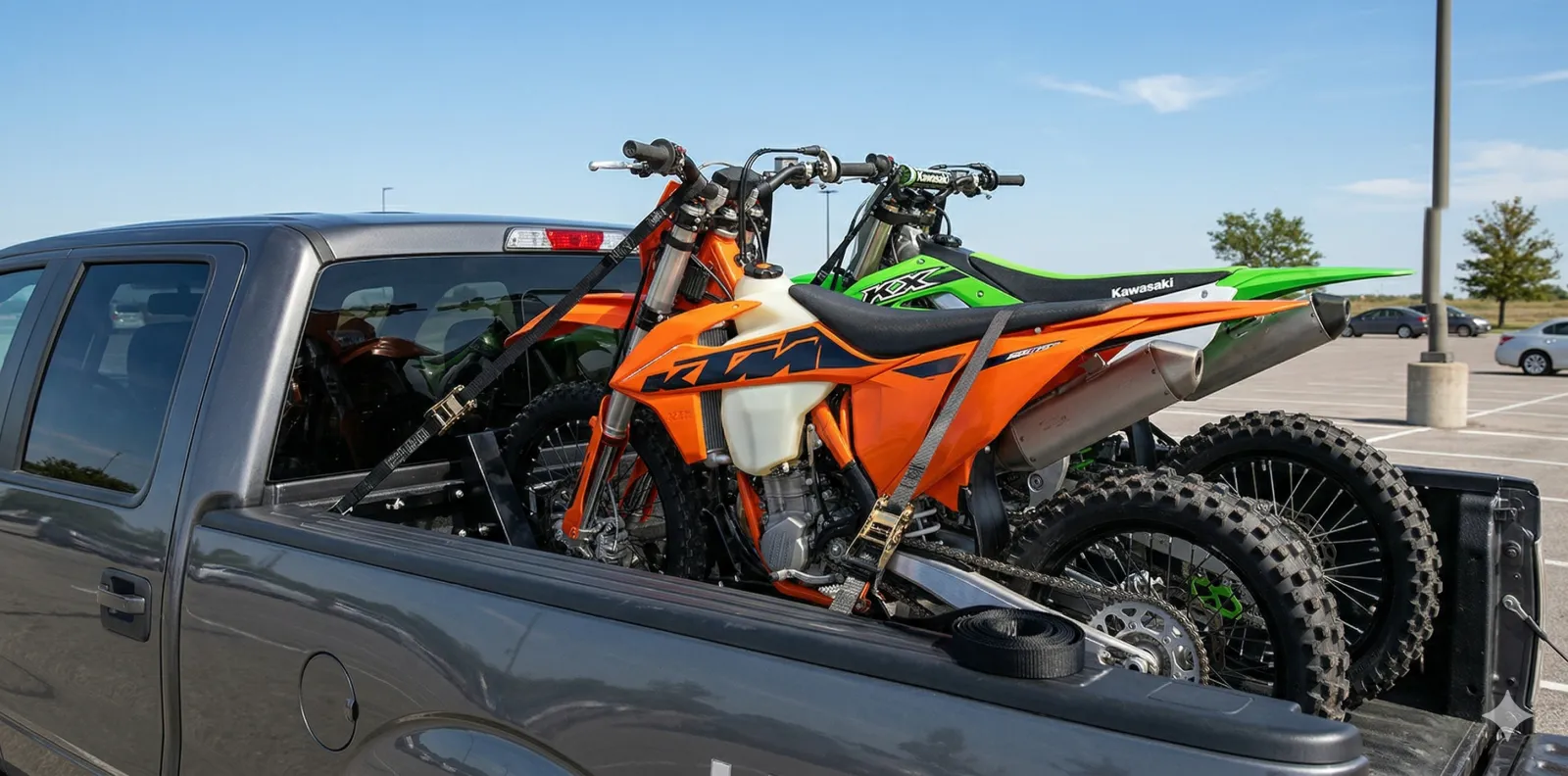
Sounds random. It's not. You're tying down bikes in the truck bed, rigging a tarp at camp, or securing a winch line on a recovery. Knots matter, and most of us only know two or three. Knots 3D has over 200 knots with 3D animations you can spin, slow down, and step through. No internet required, no ads, no subscriptions. Just a one-time $5.99 purchase that'll sit on your phone for years. (iOS / Android)
Between these apps, you've got road conditions checked, trails mapped, weather dialed in, someone to ride with, a way to record it, and proof your machines are ready to go. That's a pretty complete phone setup for a powersports rider. None of these apps try to do everything. They each do one thing well, and together they cover the whole weekend.

